
File:Haiti Jan2010 ShakeMap.png
Size of this preview: 378 × 479 pixels.
| |
This is a file from the Wikimedia Commons. Information from its description page there is shown below.
Commons is a freely licensed media file repository. You can help. |
Summary
| Description |
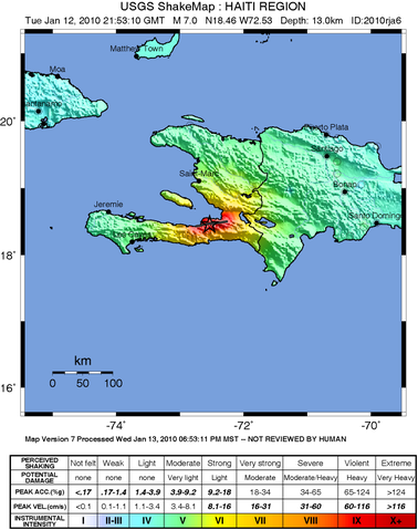
English: USGS ShakeMap v7, data re-rendered and anti-aliased by user.
|
| Date | 13 January 2010 |
| Source | http://earthquake.usgs.gov/earthquakes/shakemap/global/shake/2010rja6/ |
| Author | USGS/ Dancraggs |
Licensing
 |
This image is in the public domain because it contains materials that originally came from the United States Geological Survey, an agency of the United States Department of the Interior. For more information, see the official USGS copyright policy. български | català | Deutsch | English | español | eesti | suomi | français | galego | italiano | 한국어 | македонски | മലയാളം | Nederlands | polski | português | русский | Türkçe | 中文(香港) | 中文(简体) | +/− |
|
File usage
The following pages on Schools Wikipedia link to this image (list may be incomplete):
About Schools Wikipedia
Wikipedia for Schools was collected by SOS Children's Villages. In 133 nations around the world, SOS Children works to bring better education and healthcare to families in desperate need of support. You can help by sponsoring a child.