
File:Djibouti Map.jpg
Size of this preview: 401 × 480 pixels.
| |
This is a file from the Wikimedia Commons. Information from its description page there is shown below.
Commons is a freely licensed media file repository. You can help. |
| Description |
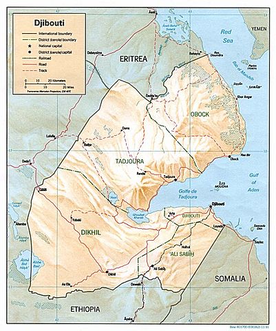
English: Shaded relief map of Djibouti, original from 1991, with the border between Ethiopia and Eritrea added in 2006.
|
|||
| Date | 1991/2006 | |||
| Source | from the Perry-Castañeda Library Map Collection. | |||
| Author | CIA | |||
| Permission ( Reusing this file) |
|


| This is a retouched picture, which means that it has been digitally altered from its original version. Modifications: modified to also show the border between Ethiopia and Eritrea, and changed one caption accordingly..
|
File usage
The following pages on Schools Wikipedia link to this image (list may be incomplete):
Schools Wikipedia and SOS Children
SOS Children's Villages has brought Wikipedia to the classroom. Thanks to SOS Children's Villages, 62,000 children are enjoying a happy childhood, with a healthy, prosperous future ahead of them. You can help by sponsoring a child.