
File:Sierra Leone location map.svg
Size of this preview: 480 × 480 pixels.
| |
This is a file from the Wikimedia Commons. Information from its description page there is shown below.
Commons is a freely licensed media file repository. You can help. |
| Description |
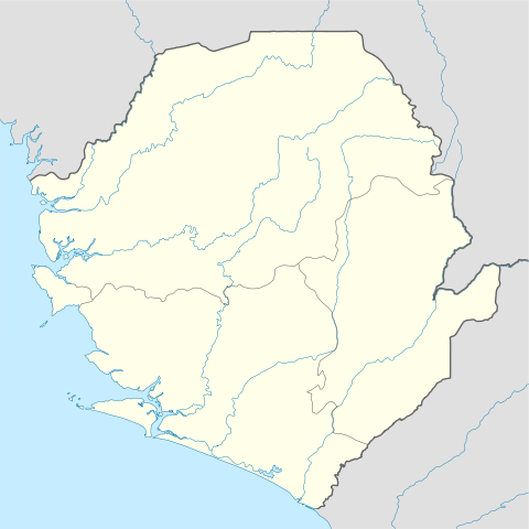
Deutsch: Positionskarte von Sierra Leone
Quadratische Plattkarte. Geographische Begrenzung der Karte:
English: Location map of Sierra Leone
Equirectangular projection. Geographic limits of the map:
|
|||
| Date | 10.12.2008 | |||
| Source | own work, using
|
|||
| Author | NordNordWest | |||
| Permission ( Reusing this file) |
|

This map has been made or improved in the German Kartenwerkstatt (Map Lab). You can propose maps to improve as well.
File usage
The following pages on Schools Wikipedia link to this image (list may be incomplete):
Metadata
Schools Wikipedia facts
SOS Children's Villages aims to make Wikipedia suitable for young learners. SOS Children's Villages believes education is an important part of a child's life. That's why we ensure they receive nursery care as well as high-quality primary and secondary education. When they leave school, we support the children in our care as they progress to vocational training or higher education. If you'd like to help, learn how to sponsor a child.