File:Turkey-pozKarta.png

Size of this preview: 640 × 256 pixels.
| |
This is a file from the Wikimedia Commons. Information from its description page there is shown below.
Commons is a freely licensed media file repository. You can help. |
Summary
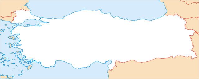
Карта Турции в нужной проекции для Шаблон:ПозКарта, обрезанная ровно по линиям градусов (25° - 45° в.д., 43° - 35° с.ш.).
Map of Turkey, in the equirectangular projection (equidistant cylindrical projection, or plate carrée). Cropped by 1 degree lines (25° - 45° E, 43° - 35° N).
| Description |
Қазақша: Location map Turkey.
മലയാളം: Location map Turkey.
Nederlands: Pergamum of Pergamon.
Srpskohrvatski / српскохрватски: Location map Turkey.
|
| Date | April 2007 |
| Source | Own work |
| Author | Koryakov Yuri |
Licensing
|
File usage
The following pages on Schools Wikipedia link to this image (list may be incomplete):
Wikipedia for Schools...
Wikipedia for Schools was collected by SOS Children. SOS Children's Villages is there for the children in our care until they are ready for independence. There are many ways to help with SOS Childrens Villages.

