
File:Tanzania location map.svg
| |
This is a file from the Wikimedia Commons. Information from its description page there is shown below.
Commons is a freely licensed media file repository. You can help. |
Summary
| Description |
Afrikaans: Liggingkaart van af:Tanzanië
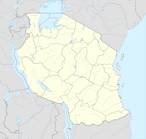
English: Location map of en:Tanzania
Français : Carte de géolocalisation de la fr:Tanzanie
Español: Mapa de georreferenciación de es:Tanzania Equirectangular projection. 0.25° N, 28° W, 42° E, -13° S. Centre : -6.375 35 |
| Date | 2009-05-01 19:32 (UTC) |
| Source |
|
| Author |
|
|
Object location |
|
This and other images at their locations on: Google Maps - Google Earth - OpenStreetMap - Proximityrama | ( Info) |
|---|
| This is a retouched picture, which means that it has been digitally altered from its original version. Modifications: Cropped, and prepared for geolocation.. The original can be viewed here: Tanzania_map-fr.svg. Modifications made by Sémhur.
|
This map was improved or created by the Wikigraphists of the Graphic Lab (fr). You can propose images to clean up, improve, create or translate as well.
বাংলা | català | česky | Deutsch | Deutsch (Sie-Form) | Ελληνικά | English | Esperanto | español | suomi | français | עברית | magyar | Հայերեն | italiano | 한국어 | македонски | Bahasa Melayu | Plattdüütsch | Nederlands | occitan | polski | português | română | русский | slovenščina | svenska | татарча/tatarça | Türkçe | українська | 中文 | 中文(简体) | 中文(繁體) | Zazaki | +/−
|
|
This vector image was created with Inkscape. |
Licensing
|

File usage
The following pages on Schools Wikipedia link to this image (list may be incomplete):
Metadata
Schools Wikipedia facts
SOS Children chose the best bits of Wikipedia to help you learn. SOS Children's Villages believes education is an important part of a child's life. That's why we ensure they receive nursery care as well as high-quality primary and secondary education. When they leave school, we support the children in our care as they progress to vocational training or higher education. Sponsoring a child is the coolest way to help.