 |
This is a file from the Wikimedia Commons. Information from its description page there is shown below.
Commons is a freely licensed media file repository. You can help.
|
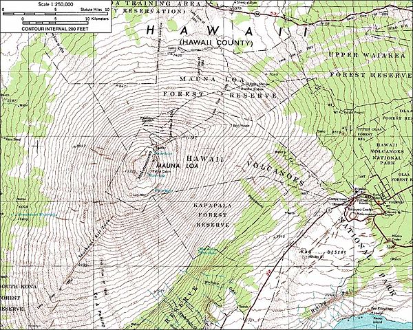
Topographic map of Mauna Loa (1:250,000 scale)
Source: http://usarc.usgs.gov/antarctic_atlas/ USGS Atlas of Antarctic Research
| Public domainPublic domainfalsefalse |
 |
This image is in the public domain because it contains materials that originally came from the United States Geological Survey, an agency of the United States Department of the Interior. For more information, see the official USGS copyright policy.
български | català | Deutsch | English | español | eesti | suomi | français | galego | italiano | 한국어 | македонски | മലയാളം | Nederlands | polski | português | русский | Türkçe | 中文 | 中文(简体) | +/−
|
|
Schools Wikipedia was launched to make learning available to everyone. SOS Children is an international children's charity, providing a good home and loving family to thousands of children who have lost their parents. We also work with communities to help vulnerable families stay together and raise children in the best possible environment. Want to learn more? Go to http://www.soschildrensvillages.org.uk/sponsor-a-child


