 |
This is a file from the Wikimedia Commons. Information from its description page there is shown below.
Commons is a freely licensed media file repository. You can help.
|
Summary
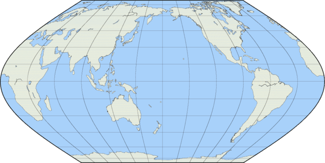
Created by User:Reisio with GMT & GIMP.
pscoast -Rg -JKs180/10i -Bg30/g15 -Df -A10000 -W -G234/236/220 -S172/209/250
|
|
Created with Generic Mapping Tools (GMT) |
 |
This map image could be recreated using vector graphics as an SVG file. This has several advantages; see Commons:Media for cleanup for more information. If an SVG form of this image is already available, please upload it. After uploading an SVG, replace this template with {{ vector version available|new image name.svg}}. |
Licensing
| Public domainPublic domainfalsefalse |
 |
This work has been released into the public domain by its author, Reisio. This applies worldwide.
In some countries this may not be legally possible; if so:
Reisio grants anyone the right to use this work for any purpose, without any conditions, unless such conditions are required by law.Public domainPublic domainfalsefalse
|
File usage
The following pages on Schools Wikipedia link to this image (list may be incomplete):


