
File:Great Ouse Relief Channel.jpg
Size of this preview: 640 × 480 pixels.
| |
This is a file from the Wikimedia Commons. Information from its description page there is shown below.
Commons is a freely licensed media file repository. You can help. |
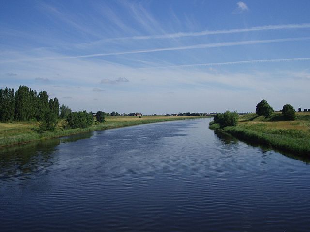
| Description | The River Great Ouse relief channel, a "6½ mile navigable channel from a lock at Denver Sluice to Wiggenhall Bridge just over two miles south of King's Lynn." ( more information). This photo was taken from the disused railway bridge near Wiggenhall St. Mary Magdalen (Norfolk) which crosses it. |
| Date | some time last month |
| Source | Own work |
| Author | Lewis Collard |
|
Camera location |
|
This and other images at their locations on: Google Maps - Google Earth - OpenStreetMap | ( Info) |
|---|
 |
The copyright holder of this file, Lewis Collard, allows anyone to use it for any purpose, provided that the copyright holder is properly attributed. Redistribution, derivative work, commercial use, and all other use is permitted. |
| Attribution: Lewis Collard
|
File usage
The following pages on Schools Wikipedia link to this image (list may be incomplete):
About Schools Wikipedia
All five editions of Schools Wikipedia were compiled by SOS Children's Villages. By supporting vulnerable children right through to adulthood, SOS Childrens Villages makes a lasting difference to the lives of thousands of people. Education is a key part of our work, and our schools provide high-quality teaching to the children in our care. Sponsoring a child is the coolest way to help.