 |
This is a file from the Wikimedia Commons. Information from its description page there is shown below.
Commons is a freely licensed media file repository. You can help.
|
Summary
| DescriptionHND orthographic.svg |
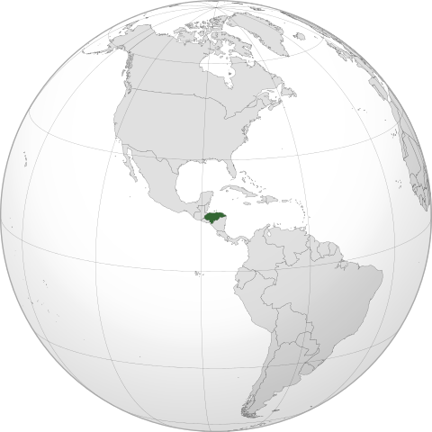
English: Orthographic map of Honduras centered at 15° N, 86° W. Official territory.
Claimed territories.
|
| Date |
8 December 2011 |
| Source |
Own work with Natural Earth Data
|
|
This vector image was created with Inkscape. |
|
| Author |
Addicted04 |
Licensing
|
I, the copyright holder of this work, hereby publish it under the following license:
|
File usage
The following pages on Schools Wikipedia link to this image (list may be incomplete):
This file contains additional information, probably added from the digital camera or scanner used to create or digitize it. If the file has been modified from its original state, some details may not fully reflect the modified file.
SOS Children's Villages chose the best bits of Wikipedia to help you learn. SOS Children works in 133 countries and territories across the globe, helps more than 62,000 children, and reaches over 2 million people in total. Want to learn more? Go to http://www.soschildrensvillages.org.uk/sponsor-a-child


