
File:Japan natural location map with side map of the Ryukyu Islands.jpg
Size of this preview: 531 × 480 pixels.
| |
This is a file from the Wikimedia Commons. Information from its description page there is shown below.
Commons is a freely licensed media file repository. You can help. |
Summary
| Description |
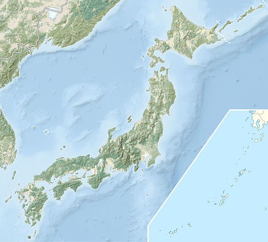
English: Natural Location map of Japan
Equirectangular projection. Geographic limits to locate objects in the main map with the main islands:
Geographic limits to locate objects in the side map with the Ryukyu Islands:
|
|||||
| Date | March 2011 | |||||
| Source |
|
|||||
| Author | Alexrk2 | |||||
| Permission ( Reusing this file) |
|
File usage
The following pages on Schools Wikipedia link to this image (list may be incomplete):
Metadata
Background information
SOS Children's Villages aims to make Wikipedia suitable for young learners. Thanks to SOS Childrens Villages, 62,000 children are enjoying a happy childhood, with a healthy, prosperous future ahead of them. Go to http://www.soschildrensvillages.org.uk/sponsor-a-child to sponsor a child.