
File:COL orthographic.svg
Size of this preview: 480 × 480 pixels.
| |
This is a file from the Wikimedia Commons. Information from its description page there is shown below.
Commons is a freely licensed media file repository. You can help. |
Summary
| Description |
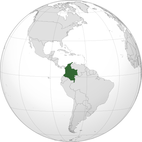
English: Orthographic map of Colombia centered at 5° N, 73° W.
Official territory.
Claimed territories.
|
||
| Date | 8 September 2011 | ||
| Source | Own work with Natural Earth Data
|
||
| Author | Addicted04 |
{{Grey-green orthographicjhyggf
projections maps}}
Licensing
|
File usage
The following pages on Schools Wikipedia link to this image (list may be incomplete):
Metadata
Want to know more?
Wikipedia for Schools brings Wikipedia into the classroom. SOS Childrens Villages is a global charity founded in 1949 to give children who have lost everything the childhood they deserve. Help another child by taking out a sponsorship