
File:Political Regions of Sudan, July 2010.svg
Size of this preview: 554 × 479 pixels.
| |
This is a file from the Wikimedia Commons. Information from its description page there is shown below.
Commons is a freely licensed media file repository. You can help. |
Summary
| Description |
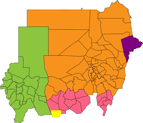
English: Map showing political regions of Sudan as of July 2006.
Darfur
Nuba Mountains and Blue Nile
North Sudan
Eastern Front, area of operations July 2006
Abyei, as defined by the Permanent Court of Arbitration
|
| Date | 9 July 2011 |
| Source |
|
| Author | Node ue |
Licensing
|
File usage
The following pages on Schools Wikipedia link to this image (list may be incomplete):
Metadata
What is Schools Wikipedia?
SOS Childrens Villages chose the best bits of Wikipedia to help you learn. SOS Children believes education is an important part of a child's life. That's why we ensure they receive nursery care as well as high-quality primary and secondary education. When they leave school, we support the children in our care as they progress to vocational training or higher education. Sponsoring a child is the coolest way to help.