 |
This is a file from the Wikimedia Commons. Information from its description page there is shown below.
Commons is a freely licensed media file repository. You can help.
|
| Description |
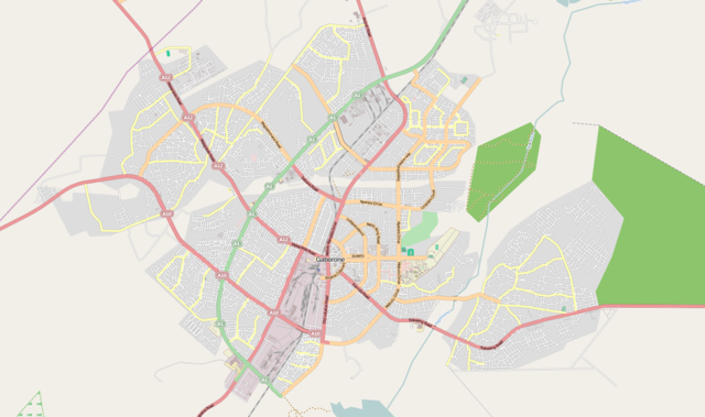
This map was created from OpenStreetMap project data, collected by the community. This map may be incomplete, and may contain errors. Don't rely solely on it for navigation. |
| Date |
(see file history) |
| Source |
See the image in its original context on the OpenStreetMap wiki page for Gaborone |
| Author |
OpenStreetMap contributors |
Permission
( Reusing this file) |
OpenStreetMap data and maps are licensed under the Creative Commons Attribution-ShareAlike 2.0 license (CC-BY-SA 2.0).
|
File usage
The following pages on Schools Wikipedia link to this image (list may be incomplete):
Schools Wikipedia was created by children's charity SOS Children's Villages. SOS Children works in 133 countries and territories across the globe, helps more than 62,000 children, and reaches over 2 million people in total. Want to learn more? Go to http://www.soschildrensvillages.org.uk/sponsor-a-child


