
File:Two-point-equidistant-asia.jpg
Size of this preview: 640 × 478 pixels.
| |
This is a file from the Wikimedia Commons. Information from its description page there is shown below.
Commons is a freely licensed media file repository. You can help. |
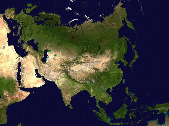
{{en|Eurasian steppe belt map.
- A Two Point Equidistant projection of Asia. The control points are at 35N 40E and 35N 140E.
- The reticle is 10 degrees in latitude and longitude, with the central meridian at 90E.
- The source image is a product of NASA's Blue Marble project.
 |
I, the copyright holder of this work, release this work into the public domain. This applies worldwide. In some countries this may not be legally possible; if so: I grant anyone the right to use this work for any purpose, without any conditions, unless such conditions are required by law.
|
derivative works
Derivative works of this file:
File usage
I want to learn more...
Schools Wikipedia was created by children's charity SOS Childrens Villages. SOS Childrens Villages helps more than 2 million people across 133 countries around the world. There are many ways to help with SOS Childrens Villages.