
File:USA Region West location map.svg
Size of this preview: 428 × 479 pixels.
| |
This is a file from the Wikimedia Commons. Information from its description page there is shown below.
Commons is a freely licensed media file repository. You can help. |
Summary
| Description |
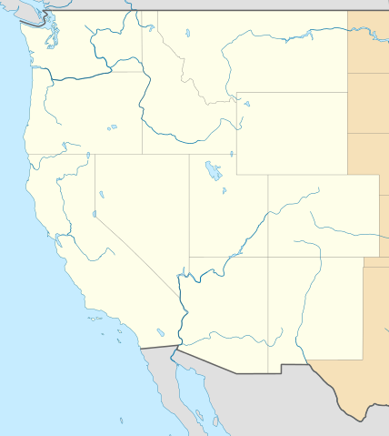
Deutsch: Positionskarte der westlichen Staaten der USA
Quadratische Plattkarte, N-S-Streckung 130.0 %. Geographische Begrenzung der Karte: English: Location map of Western United States, USA
Equirectangular projection, N/S stretching 130.0 %. Geographic limits of the map:
|
| Date | April 2010 |
| Source | Own work
|
| Author | Alexrk2 |
This map has been made or improved in the German Kartenwerkstatt (Map Lab). You can propose maps to improve as well.
Licensing
|
File usage
The following pages on Schools Wikipedia link to this image (list may be incomplete):
Metadata
Find out more
Wikipedia for Schools was collected by SOS Childrens Villages. By supporting vulnerable children right through to adulthood, SOS Children makes a lasting difference to the lives of thousands of people. Education is a key part of our work, and our schools provide high-quality teaching to the children in our care. There are many ways to help with SOS Children's Villages.