
File:Ford's Dunton Technical Centre - geograph.org.uk - 218069.jpg
Ford's_Dunton_Technical_Centre_-_geograph.org.uk_-_218069.jpg (640 × 426 pixels, file size: 47 KB, MIME type: image/jpeg)
| |
This is a file from the Wikimedia Commons. Information from its description page there is shown below.
Commons is a freely licensed media file repository. You can help. |
Summary
| Description |
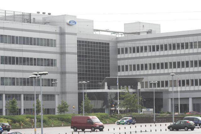
English: Ford's Dunton Technical Centre. "Automobile Research Centre" on the OS maps.
|
| Date | 24 June 2006 |
| Source | From geograph.org.uk |
| Author | Matthew Barker |
|
Camera location |
|
This and other images at their locations on: Google Maps - Google Earth - OpenStreetMap | ( Info) |
|---|
Licensing
 |
This image was taken from the Geograph project collection. See this photograph's page on the Geograph website for the photographer's contact details. The copyright on this image is owned by Matthew Barker and is licensed for reuse under the Creative Commons Attribution-ShareAlike 2.0 license. |
| This file is licensed under the Creative Commons Attribution-Share Alike 2.0 Generic license. | ||
| Attribution: Matthew Barker | ||
|
File usage
The following pages on Schools Wikipedia link to this image (list may be incomplete):
Metadata
Want to know more?
You can learn about nearly 6,000 different topics on Schools Wikipedia. SOS Children is there for the children in our care until they are ready for independence. If you'd like to help, learn how to sponsor a child.