
File:South Africa late19thC map.png
Size of this preview: 580 × 480 pixels.
| |
This is a file from the Wikimedia Commons. Information from its description page there is shown below.
Commons is a freely licensed media file repository. You can help. |
 |
This map image could be recreated using vector graphics as an SVG file. This has several advantages; see Commons:Media for cleanup for more information. If an SVG form of this image is already available, please upload it. After uploading an SVG, replace this template with {{ vector version available|new image name.svg}}. |
Summary
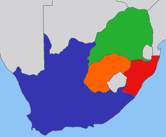
| Description | Map of the South Africa in the beginning 1900s, with provinces recoloured in the GIMP. |
| Date | 30 August 2008 |
| Source | based on image:Transvaal_map.png by User:Dewet, based on work by User:Messhermit |
| Author | Self |
| Permission ( Reusing this file) |
CC-BY-SA-2.5 |
Licensing
| This file is licensed under the Creative Commons Attribution-Share Alike 2.5 Generic license. | ||
|
File usage
The following pages on Schools Wikipedia link to this image (list may be incomplete):
Schools Wikipedia facts
SOS Children's Villages has brought Wikipedia to the classroom. SOS Children is an international children's charity, providing a good home and loving family to thousands of children who have lost their parents. We also work with communities to help vulnerable families stay together and raise children in the best possible environment. Go to http://www.soschildrensvillages.org.uk/sponsor-a-child to sponsor a child.