
File:Tashkent History 1981.jpg
Size of this preview: 632 × 480 pixels.
| |
This is a file from the Wikimedia Commons. Information from its description page there is shown below.
Commons is a freely licensed media file repository. You can help. |
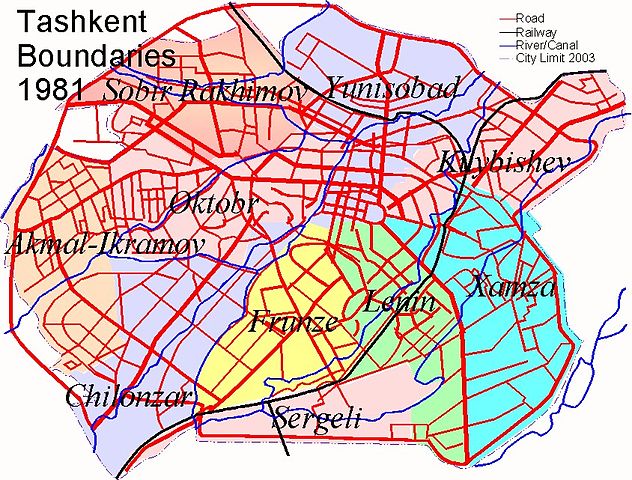
Summary
|Description=Map Of Tashkent in 1981 showing the boundaries of the city, main roads, railways and waterways (6 of 7) |Source=Self generated by author based on the Geographical Atlas of Tashkent (Ташкент Географический Атлас, Москва 1984) |Date=2008-11-07 |Author=Guy Cosnahan |Permission= |Other_versions= }}
Licensing
|

File usage
The following pages on Schools Wikipedia link to this image (list may be incomplete):
About Schools Wikipedia
All five editions of Schools Wikipedia were compiled by SOS Childrens Villages. SOS Childrens Villages believes that a decent childhood is essential to a happy, healthy. Our community work brings families new opportunities through education, healthcare and all manner of support. Sponsoring a child is the coolest way to help.