
File:Pyongyangarmymapservice1946.jpg
Size of this preview: 446 × 479 pixels.
| |
This is a file from the Wikimedia Commons. Information from its description page there is shown below.
Commons is a freely licensed media file repository. You can help. |
Summary
| Description |
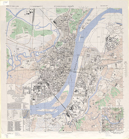
English: 1946 Map of Pyongyang (Heijo), North Korea by the Army Map Service, U.S. Army
|
| Date | 1946 |
| Source | http://www.lib.utexas.edu/maps/ams/korea_city_plans/txu-oclc-6565231.jpg |
| Author | Army Map Service, U.S. Army, Washington D.C. |
 |
This map image could be recreated using vector graphics as an SVG file. This has several advantages; see Commons:Media for cleanup for more information. If an SVG form of this image is already available, please upload it. After uploading an SVG, replace this template with {{ vector version available|new image name.svg}}. |
Licensing
 |
This image is a work of a U.S. Army soldier or employee, taken or made as part of that person's official duties. As a work of the U.S. federal government, the image is in the public domain.
|
 |
File usage
The following pages on Schools Wikipedia link to this image (list may be incomplete):
Metadata
Schools Wikipedia facts
Schools Wikipedia was created by children's charity SOS Children. SOS Childrens Villages is famous for the love and shelter it brings to lone children, but we also support families in the areas around our Children's Villages, helping those who need us the most. We have helped children in Africa for many years - you can help too...