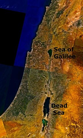
File:Dead Sea Galilee.jpg

Size of this preview: 290 × 479 pixels.
File usage
The following pages on Schools Wikipedia link to this image (list may be incomplete):
Schools Wikipedia and SOS Children
Learning is fun and easy with Schools Wikipedia. More than 2 million people benefit from the global charity work of SOS Children, and our work in 133 countries around the world is vital to ensuring a better future for vulnerable children. Would you like to sponsor a child?

