
File:York (Aerial view).jpg
York_(Aerial_view).jpg (640 × 480 pixels, file size: 426 KB, MIME type: image/jpeg)
| |
This is a file from the Wikimedia Commons. Information from its description page there is shown below.
Commons is a freely licensed media file repository. You can help. |
|
Camera location |
|
This and other images at their locations on: Google Maps - Google Earth - OpenStreetMap | ( Info) |
|---|
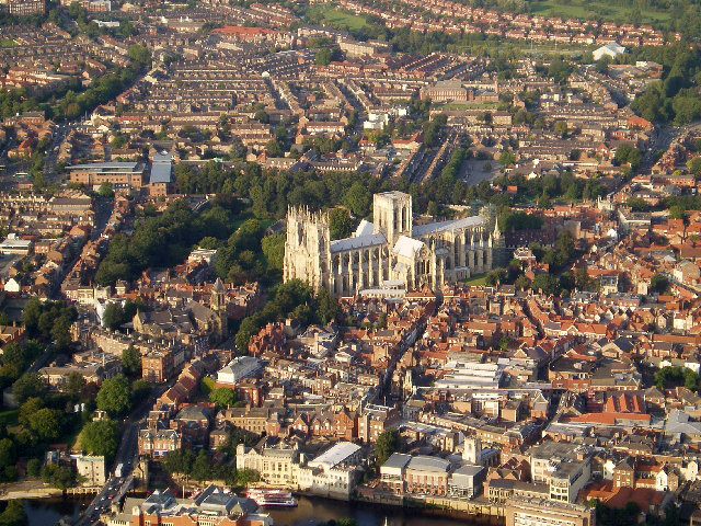
| Description | York City Centre (including York Minster), in North Yorkshire, England. |
| Date | Taken 12 September, 2005. |
| Source | Sourced from Geograph.co.uk. |
| Author | DACP |
| Permission ( Reusing this file) |
CC-BY-SA-2.5. |
 |
This image was taken from the Geograph project collection. See this photograph's page on the Geograph website for the photographer's contact details. The copyright on this image is owned by DACP and is licensed for reuse under the Creative Commons Attribution-ShareAlike 2.0 license. |
| This file is licensed under the Creative Commons Attribution-Share Alike 2.0 Generic license. | ||
| Attribution: DACP | ||
|
File usage
The following pages on Schools Wikipedia link to this image (list may be incomplete):
Metadata
Background information
Schools Wikipedia was created by children's charity SOS Childrens Villages. SOS Children is a global charity founded in 1949 to give children who have lost everything the childhood they deserve. Find out more about sponsoring a child.