
File:South Africa Eastern Cape location map.svg
Size of this preview: 640 × 445 pixels.
| |
This is a file from the Wikimedia Commons. Information from its description page there is shown below.
Commons is a freely licensed media file repository. You can help. |
Summary
| Description |
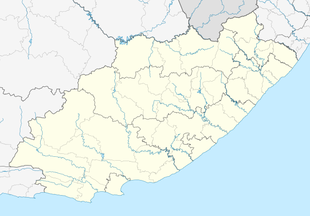
English: Location map of the Eastern Cape
Equirectangular projection, N/S stretching 117%. Geographic limits of the map:
|
||||||
| Date | 4 January 2013 | ||||||
| Source |
|
||||||
| Author | Htonl | ||||||
| Permission ( Reusing this file) |
|
File usage
The following pages on Schools Wikipedia link to this image (list may be incomplete):
Metadata
A background to Schools Wikipedia
Schools Wikipedia was created by children's charity SOS Childrens Villages. The world's largest orphan charity, SOS Childrens Villages brings a better life to more than 2 million people in 133 countries around the globe. There are many ways to help with SOS Children's Villages.