
File:River Stour in Canterbury, 2009.jpg
- File
- File usage
- Metadata
- More information
Size of this preview: 320 × 480 pixels.
| |
This is a file from the Wikimedia Commons. Information from its description page there is shown below.
Commons is a freely licensed media file repository. You can help. |
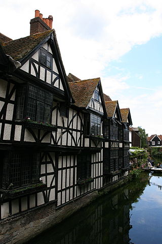
| Description | The River Stour flowing through Canterbury |
| Date | 15 June 2008, 15:42 |
| Source | River Stour |
| Author | Chris Brown |
|
Camera location |
|
This and other images at their locations on: Google Maps - Google Earth - OpenStreetMap | ( Info) |
|---|
Licensing
| This file is licensed under the Creative Commons Attribution 2.0 Generic license. | ||
|
| This image was originally posted to Flickr by zoonabar at http://flickr.com/photos/92496717@N00/2581690160. It was reviewed on 1 August 2009 by the FlickreviewR robot and was confirmed to be licensed under the terms of the cc-by-2.0. |
Metadata
More information
All five editions of Schools Wikipedia were compiled by SOS Children. SOS Children helps more than 2 million people across 133 countries around the world. Find out more about sponsoring a child.